

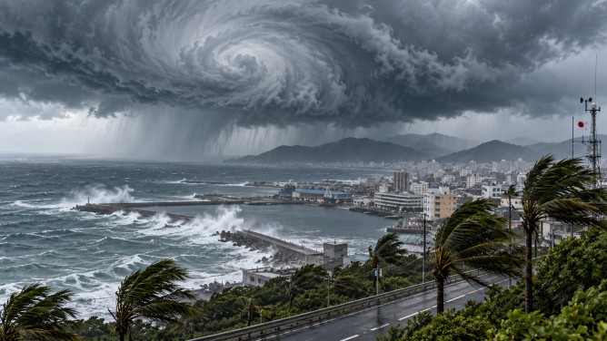
Typhoon Champi is advancing northwest towards Japan’s southern islands, raising alarms over the potential for intense rainfall, strong winds, and hazardous sea conditions. The storm, the 30th typhoon of the year, is expected to pass near islands southwest of Okinawa by Saturday. Authorities have issued warnings for residents to prepare for severe weather, including gusts, high tides, and the risk of natural disasters.
Forecasts indicate that remote islands could face extended periods of heavy rain from Friday to Saturday if linear rainbands develop, heightening the threat of localized downpours and flooding. In Okinawa Prefecture, wind gusts could reach up to 198 kilometers per hour on Friday, decreasing slightly to 180 kilometers per hour on Saturday. Rainfall is projected to total 250 millimeters in the 24-hour period leading up to 6 a.m. Saturday, with an additional 120 millimeters possibly accumulating in the following 24 hours. These totals could be higher if intense rainbands form.
Sea conditions are also predicted to worsen, with wave heights potentially reaching up to 12 meters around Okinawa on both Friday and Saturday. As of 5 a.m. Friday, Typhoon Champi was positioned south of Okinawa, moving northwest at a speed of 15 kilometers per hour, and had a central atmospheric pressure of 950 hectopascals.
The typhoon is expected to weaken as it nears the Tsushima Strait, which lies between Japan’s Kyushu Island and the Korean Peninsula, before altering its course towards the east. Authorities have advised residents in the affected regions to stay informed with weather updates and take necessary precautions against the forecasted heavy rain, strong winds, and dangerous coastal conditions.
